
Yarmouth Road, Thorpe St Andrew
Cary's Meadow
This is now a Nature Reserve. It once belonged to a dairy farmer named Walter Cary and then to his son George, who lived in a cottage where the pumping station is now, by the car park. The farming tradition continues and from July to December cattle graze here. The cattle help to keep the diversity of plants on the meadow by stopping scrub spreading into the open grassland.
The meadow was also a greyhound track on a bit of land formerly part of Old Hall Farm and was named The Norwich City Stadium. The ‘Grand Opening Night’ on Saturday 17th June 1933. Race meetings were held there for several years until the outbreak of the Second World War in September 1939. After the war the area was used as a circus venue for a couple of years about 1948-9.
There was a shelter in a tunnel which ran from the meadows to the grounds of Thorpe Lodge underneath Yarmouth Road.
George Carey owned a series of fields called Careys Meadow which was situated in Thorpe Hamlet, east of Norwich and south of the Yarmouth Road.[2]
The fields were prone to flooding being next to River Yare[3] but in 1933 Carey decided to build a greyhound track just one year after The Firs Stadium and Boundary Park Stadium had opened.[4]
The greyhound track opened on 17 June 1933 becoming the third track in Norwich to open. The racing was independent (unaffiliated to a governing body) and operated in the summer. In winter the fields were manually flooded allowing the site to double up as an ice skating venue. The last greyhound meeting took place on 2 September 1939 before the start of World War II and never reopened.[5]
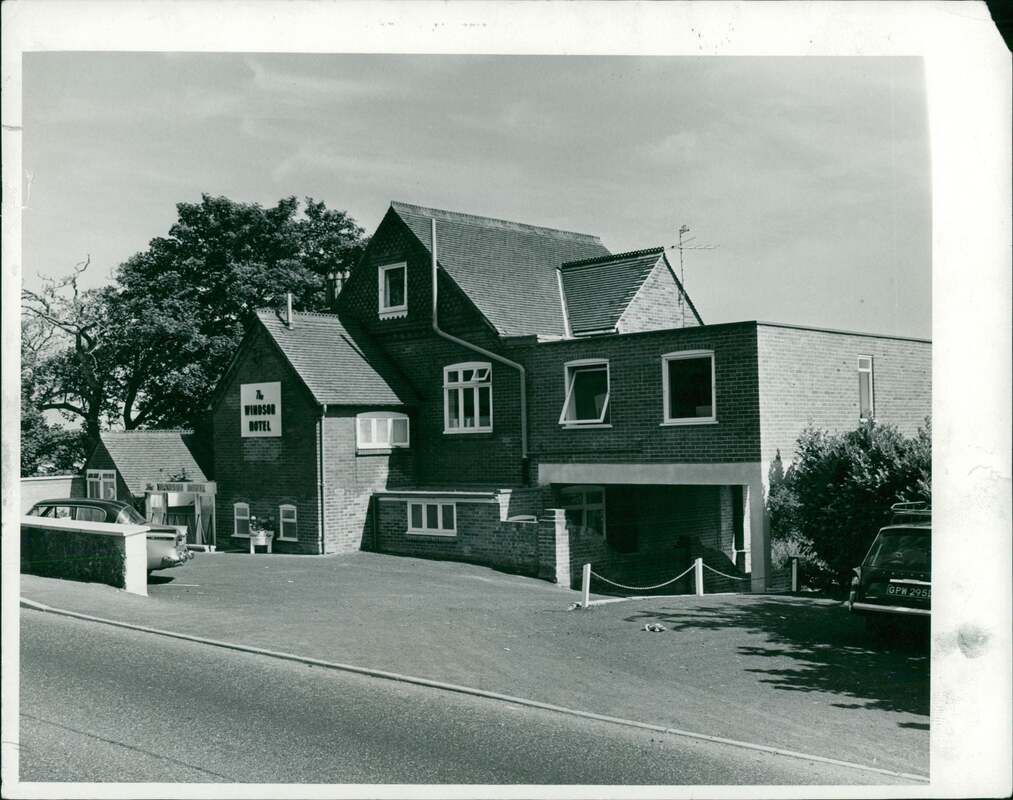
2 Yarmouth Road - Windsor House
Used to be The Windsor Hotel.
Used to be The Windsor Hotel.
27 Yarmouth Road - Stanton House
In the 60's this was home to North Central Finance and more recently has been home to Radio Norwich and now Greatest Hits Radio.
In the 60's this was home to North Central Finance and more recently has been home to Radio Norwich and now Greatest Hits Radio.
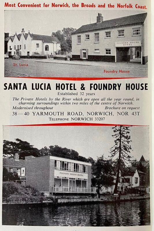
38-40 Yarmouth Road
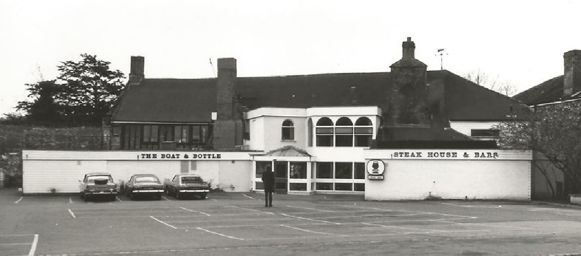
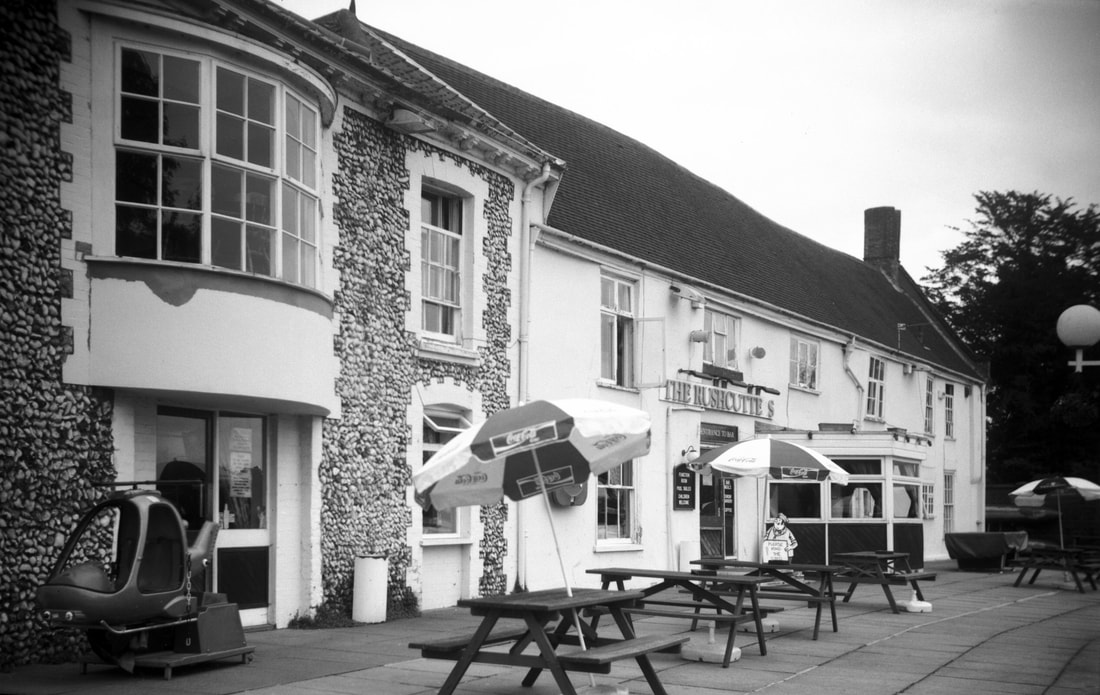
46 Yarmouth Road - The Rushcutters
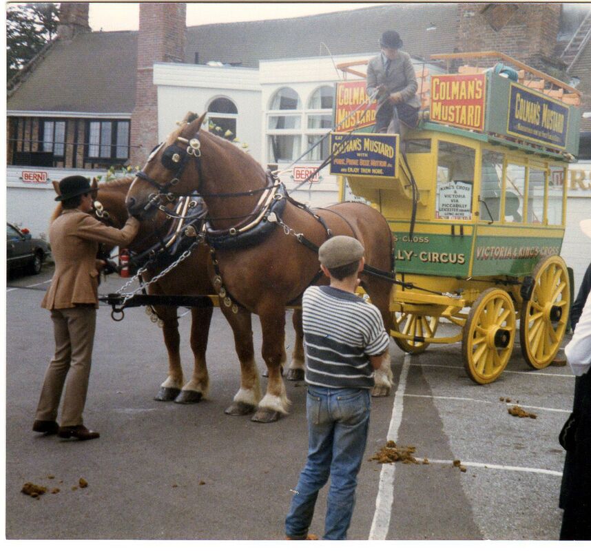
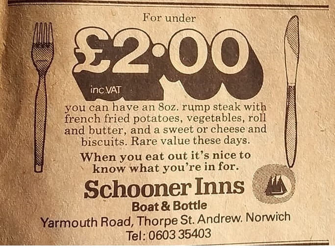
Used to be called The Boat And Bottle and was a Berni Inn. The Berni Inn was a popular chain of restuarants and was later sold to Brewers Fayre in 1995. It had a very limited menu but very good value for money.
Used to be called The Boat And Bottle and was a Berni Inn. The Berni Inn was a popular chain of restuarants and was later sold to Brewers Fayre in 1995. It had a very limited menu but very good value for money.
55 Yarmouth Road - The Buck
Opened 1789. Used to have a petrol station in what is now the car park.
Opened 1789. Used to have a petrol station in what is now the car park.
89 Yarmouth Road - The Oaklands Hotel
Used to be owned by George Dack in the 60's and was once the home of one of the founders of Laurence and Scott, a world famous company.
Used to be owned by George Dack in the 60's and was once the home of one of the founders of Laurence and Scott, a world famous company.
97 Yarmouth Road
Used to be A.E. Televison that did TV rentals and repairs.
Used to be A.E. Televison that did TV rentals and repairs.
104 Yarmouth Road - Thorpe Mews
This used to be a Butchers shop and around 1976 the close was built.
This used to be a Butchers shop and around 1976 the close was built.
151 Yarmouth Road
Used to be a Howes petrol station and Texaco petrol station and Circle Service Station and the house behind it was called Carrara. Picture from here - https://www.flickr.com/photos/131286969@N05/52275922496/sizes/l/
Used to be a Howes petrol station and Texaco petrol station and Circle Service Station and the house behind it was called Carrara. Picture from here - https://www.flickr.com/photos/131286969@N05/52275922496/sizes/l/
212 Yarmouth Road - The Griffin
This pub closed in 2017 and was demolished in 2021 following a fire.
This pub closed in 2017 and was demolished in 2021 following a fire.
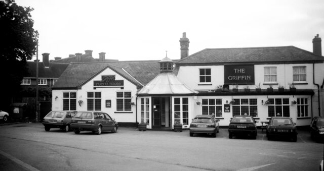
Picture source: George Plunkett - http://www.georgeplunkett.co.uk/
Stannard Court
Used to be a shell petrol station in the 70's and later it was called save petrol station. Named after Joesph Stannard, who painted the Thorpe Water Frolic. Huge painting that hangs in Norwich castle. He’s one of the original Norwich school of artists.
Used to be a shell petrol station in the 70's and later it was called save petrol station. Named after Joesph Stannard, who painted the Thorpe Water Frolic. Huge painting that hangs in Norwich castle. He’s one of the original Norwich school of artists.
