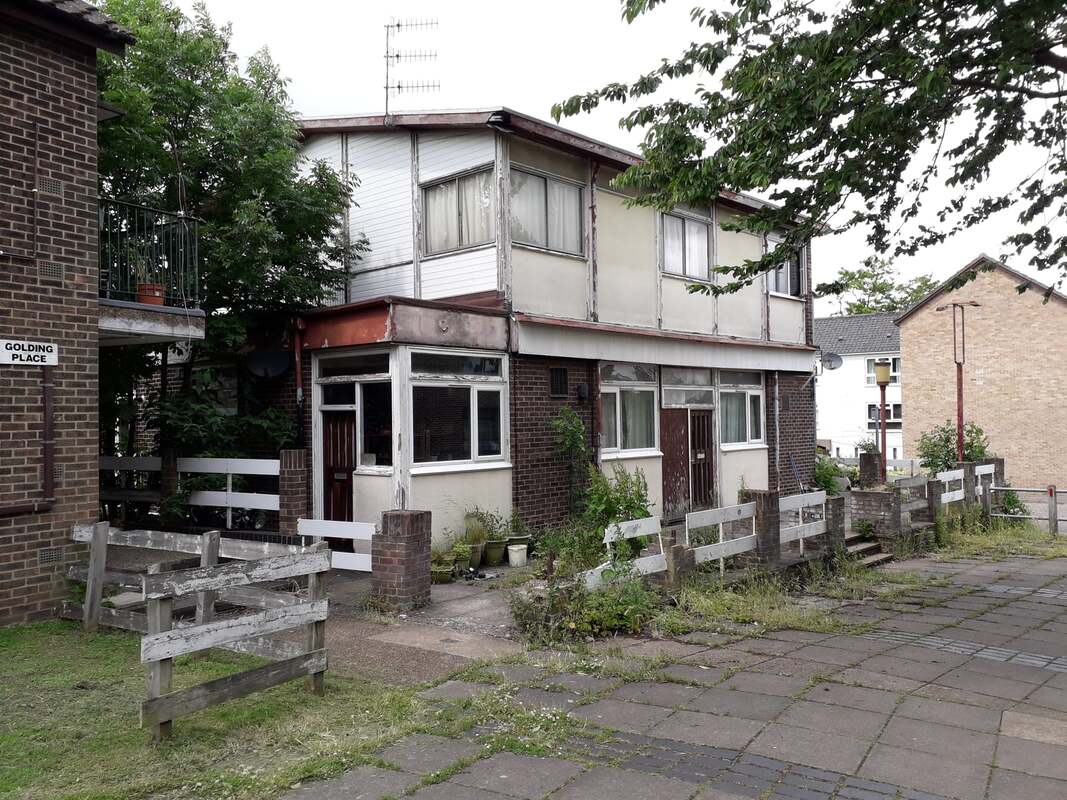
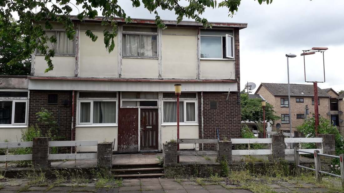
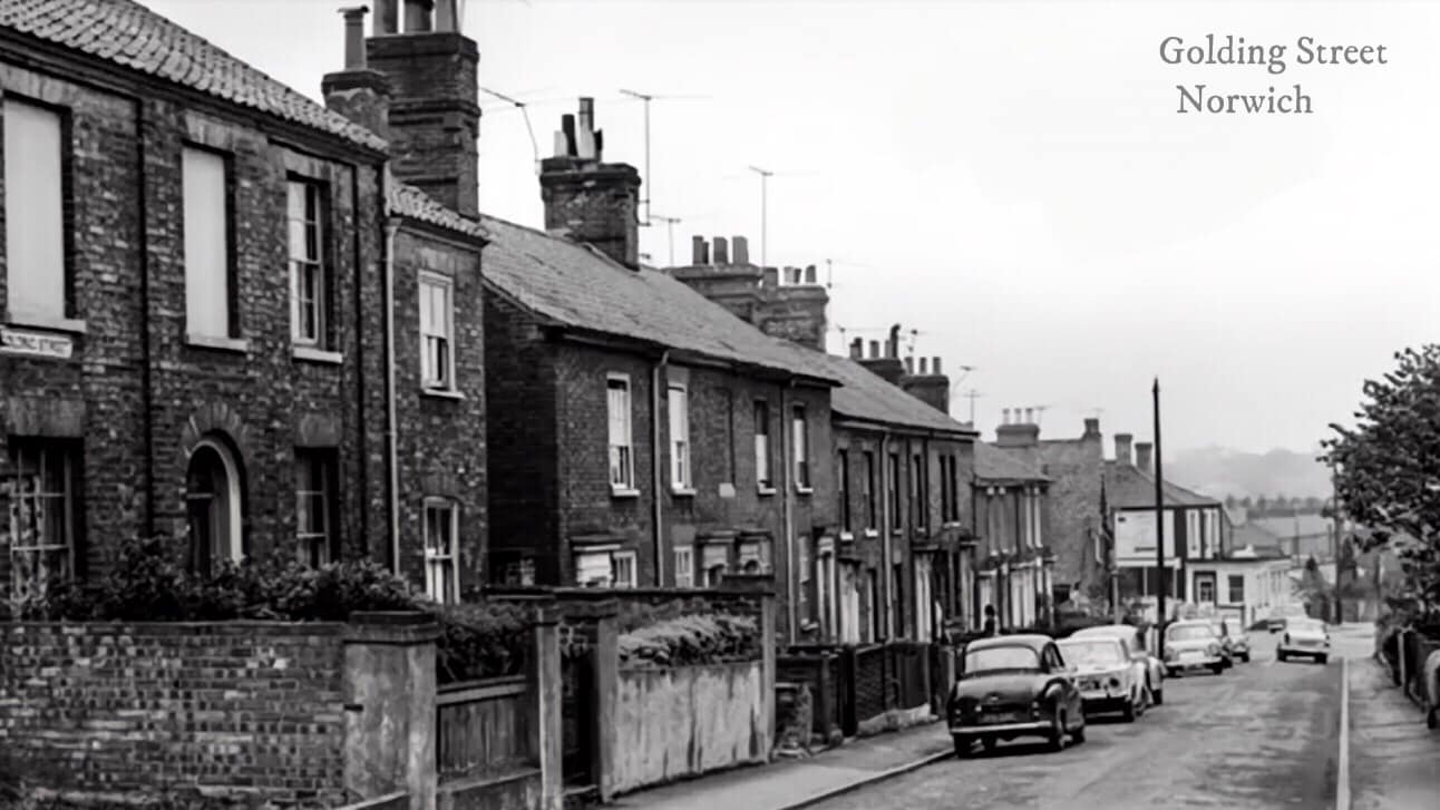
Golding Place
Golding Place used to be called Golding Street with rows of terrace houses but they demolished them to build flats.
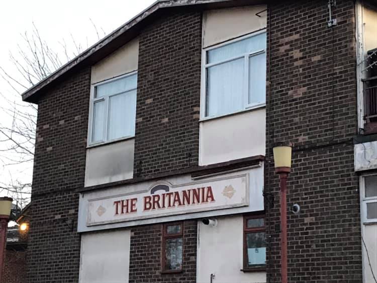
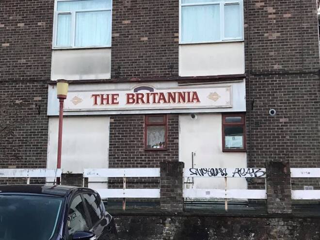
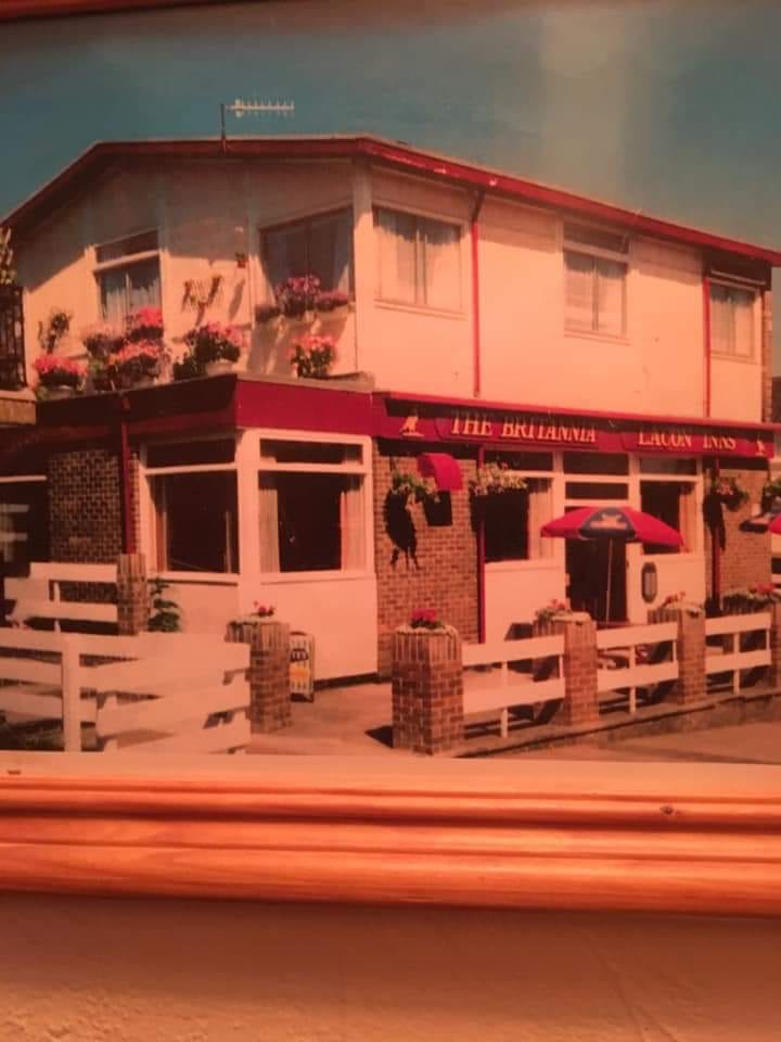
41 Golding Place, Norwich - The Brittania Pub.
At 41 Golding Place stands the former Britannia Pub. The Sandringham Arms (first photo) was built 1867, and this was demolished in 1973. In its place was built The Britannia, in the typical uninviting 1970s style. Opened Tuesday 16th October 1973. By January 2000, the pub was boarded up and subsequently closed.
At 41 Golding Place stands the former Britannia Pub. The Sandringham Arms (first photo) was built 1867, and this was demolished in 1973. In its place was built The Britannia, in the typical uninviting 1970s style. Opened Tuesday 16th October 1973. By January 2000, the pub was boarded up and subsequently closed.
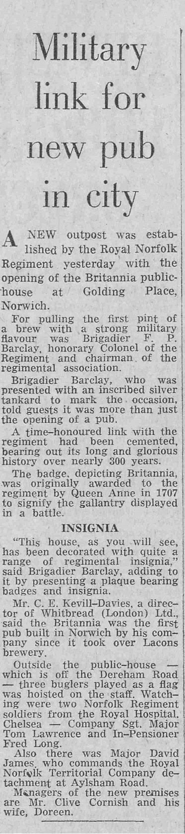
Tuesday 16th October 1973 copyright Archant
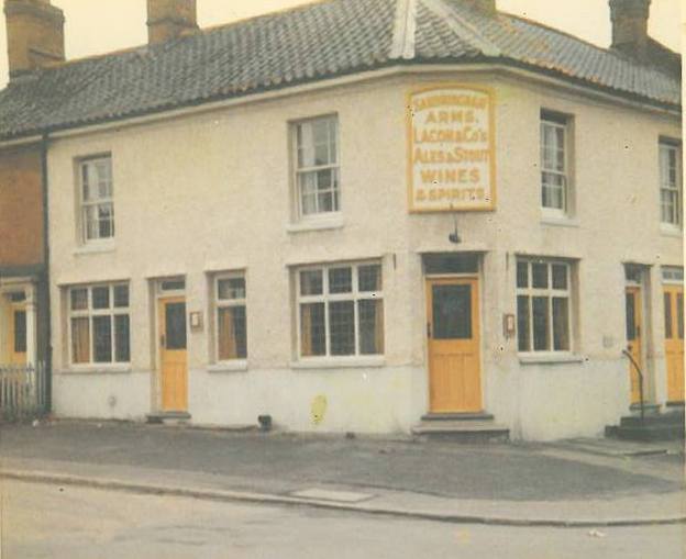
Courtesy of Phil Lacey, taken 1970.
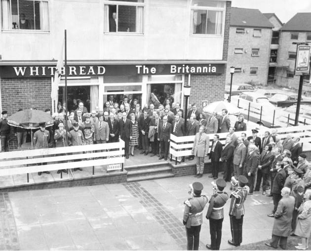
The crowd at the opening of The Britannia public house in Golding Place Dated 17th October 1973. Photograph: Archant Library
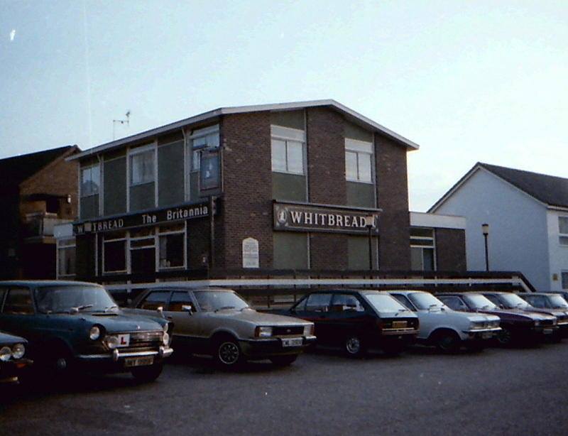
Taken by Ken Chapman, 1984.
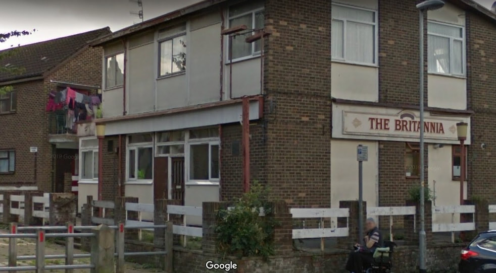
And today randomly with the pub sign still intact